
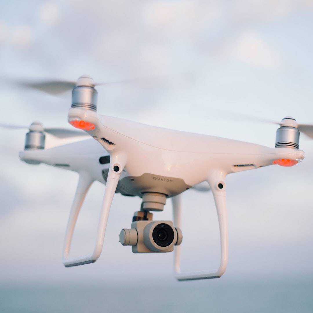
How can Drones be used in the Environment and Construction Industries?
The evolution of drones has seen uses become more common within the Environment and Construction industries. From aerial surveys to 3D mapping. UAV’s have made an impact by enabling safer and precise data collection. Below are several services/uses drones can provide:
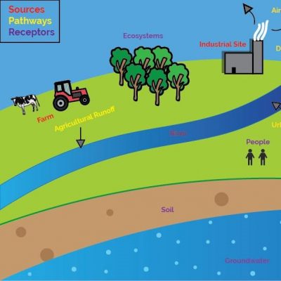
- Land Surveying
- Urban Planning and Land Management
- Site management for mining and quarries
- Thermal Imaging for Archaeology
- Building Information Modelling (BIM)
- Infrastructure Inspection
- Agriculture, Crop Analysis
- 3D modelling
- Irrigation and Drainage
- Thermal Imaging, Flood Risk
- Coastal Management
- River/Flood Assessments
- Terrain Modelling
- Forest Plantation Monitoring, Crop Management
- Wildlife Conservation
Drones can access areas which could be classed as dangerous or difficult to access. In addition they are also a much cheaper source for data collection rather than traditional methods by using a helicopter. Furthermore, they have the capability to be airborne instantly and can capture data very quickly for analysis. Making data collection cheap and fast which is why drones will become a common site throughout the environmental and construction industries.
In conclusion RMA Environmental we can now offer Drone Services including:
- Aerial Surveys and Inspections
- Aerial Photography
- Aerial Videography
- Coming Soon… Visualisation
We are qualified and have our PFCO from the CAA for commercial operations.
If you require any Drone Services please contact us for more details : enquires@rma-envionmental.co.uk


